The first part of the hike was a killer climb. About 1700 vertical feet from near the city limits of Pearisburg to the ridges high above. With a fully loaded backpack and warm sun and high humidity, it was a pretty tough climb. It had been over a year since I'd backpacked with anything near that kind of weight, so I was in for a long, rugged day. Still and all, I managed to stay in the front of the line and got so far ahead at one point (due to a hold up with Andy and Kevin getting their packs ready) that I thought I'd missed a turn and headed in the wrong direction. But Andy's dog Boone caught up with me soon after that so I knew that the others were not far back.
The weather was pretty much perfect for backpacking in summer. About as good as I could have hoped for. The skies were clear to partly cloudy and it was warm, but not too hot. Most of the mileage was through good, second-growth forests, so the shade was nice. We did pass under some power lines and during those brief stretches the sun did beat down a bit aggressively. Bu by and large everything was about as good as I could have expected.
 This was right at the beginning of our trip. This sign was posted on an old, but dead, hemlock tree.
 Boone stopping early on to lap up some water from a cool stream.
  A rude tree.
 One thing about some of the spots in the southern Appalachians is that they are heavy with ferns. There is nothing quite so peaceful as a forest floor covered in green, soft ferns.
 One thing to keep in mind is that often the Appalachian Trail passes through private property where owners have extended Right of Way. Some of these places are fenced and at such spots ladders have been built to facilitate crossings.
 This was a great spot. A grassy field along the high ridges. This was also the location of a trail shelter just at the verge of the forest and grass.
 We decided to stop at the shelter, rest, and rehydrate. This was a pretty decent spot for a shelter.
 We passed under a few transmission lines. It's kind of a bother, but often you get some good views at such places, plus the terrain seems to be conducive to mountain laurels.
 This was a sign indicating a water source at an AT campsite. We were all running low on water, but decided to bypass this spring for the simple reason that our campsite for the night at Symms Field was listed as having an ample, reliable water source. As things turned out, we definitely should have stopped at this spring to filter water and replenish our supplies of H2O.
 Just a nice shot of the AT as it passes over a small peak.
 I sat down to rest and noticed this little hollowed out garden in a rotting log.
  Our first view of Symms Field, where we had decided to pitch camp for our first night on the trail. The field runs for about a mile or a bit more along the ridge at around 3500 feet above sea level.
 View of the AT as it heads north.
  This is my one-man Hubba tent made by MSR. I bought it after doing a lot of research and settled on it for its very low weight and ease of setup. It's plenty big enough for one man and there's room for your pack under the vestibule if you're so inclined. It's bigger than a bivy, but small enough to keep the weight low (a tad over two pounds!). I made a good choice!
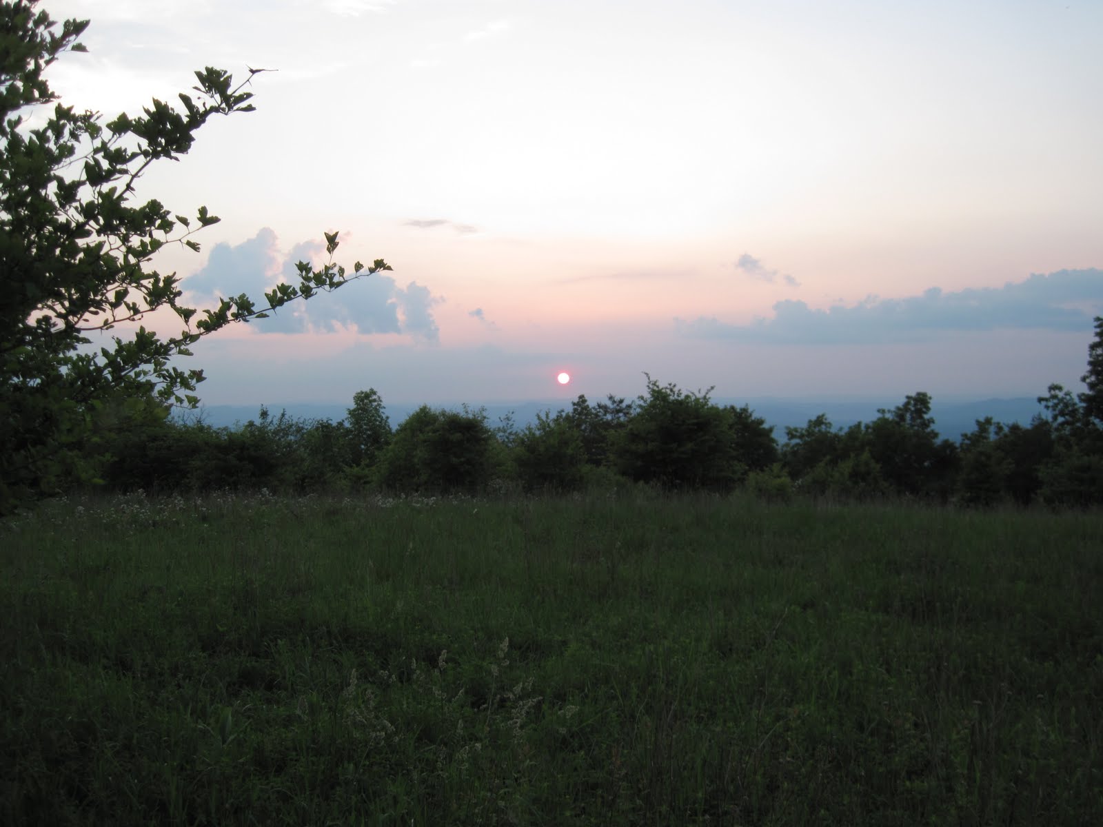 Sunset from the field. We were all tired. The air cooled off really well and there was a good breeze blowing. Our only problem with the campsite was that the water source was actually a kind of smelly bog. It was wet, all right. But it stank of sulfurous decay, the water was packed cheek by jowl with tadpoles and salamanders, and it was hard to get to because the earth all around was soggy and one tended to sink up to one's ankles in trying to get water. Fortunately, we had two good water filters and were able to filter and treat enough water to cook supper and enough for drinking. Our biggest problem was that the following day we would not see water again for five miles! If you're planning on staying at this spot, get your water elsewhere before you arrive.
Typical walking along the AT. This was on a relatively level section with not much in the way of rocks. I have to say some of the section we hiked was EXTREMELY rocky! More details on the next post.
No comments:
Post a Comment