 |
| The photo I took in August of 2010. |
 |
| Scene from the fire tower webcam yesterday. |
|
| The photo I took in August of 2010. |
|
| Scene from the fire tower webcam yesterday. |
 | |
| On Mount Washburn, Yellowstone National Park. |
 |
| Lamar Valley, Yellowstone National Park. |
 |
| From Avalanche Peak, Yellowstone National Park. |
 |
| Rocky Mountain National Park, Colorado. |
 |
| Longs Peak, Rocky Mountain National Park, Colorado. |
 |
| Trail on Mount Washburn in Yellowstone National Park. Why? Because I wish I was hiking there now. |
 |
| This is just past the paved parking lot where Carole dropped me off for my hike. |
 |
| The two main trails to the top were originally created for wheeled traffic. This one was made for automobiles and is still used for that purpose by the Park Service and other official folk. |
 |
| Looking around at the real mountains. I was really stunned at the damage to the forests by the pine beetle that has reached nasty levels due to global warming. |
 |
| That was my goal. The ranger station on the summit of Mount Washburn. A long way to go. |
 |
| Vast wilderness. |


 |
| As you can see, this "trail" is mainly for official vehicles. One maintenance truck passed me at one point. That was a buzz kill. |
 |
| This was my first view of the trail that I would be taking for the way down. It was originally intended as a wagon road for visitors to access the summit. |
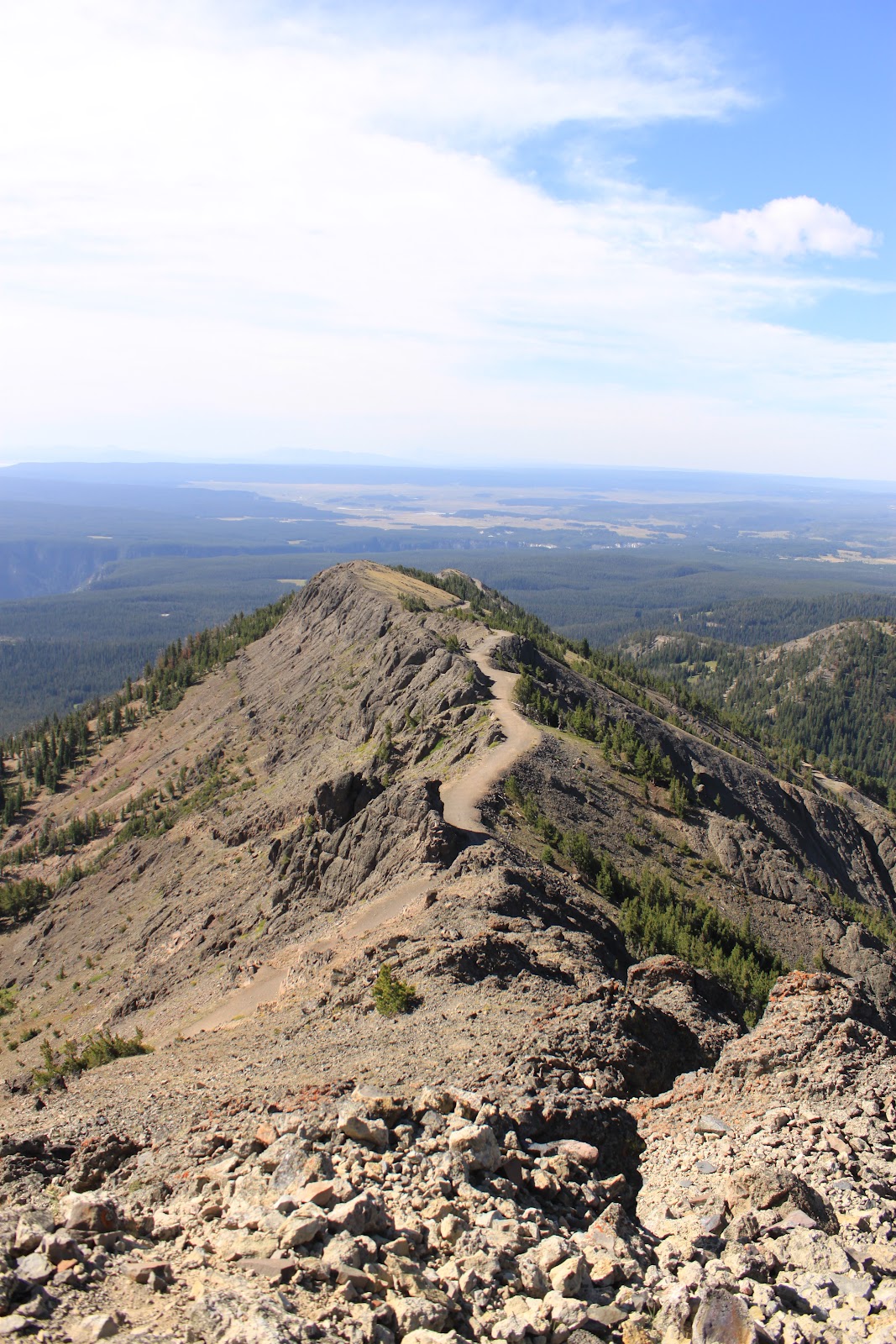 |
| Another view of the old wagon road. |
 |
| Bob at the summit sign. |
 |
| 10,243 feet. To date, the second highest mountain I've ever hiked. |
 |
| Looking off toward the other side of the park, toward Grand Canyon of the Yellowstone. |
 |
| Not sure why they put this pile of stones here. Stored for later stonework? Or to block the trail? |
 |
| Washburn has topography unlike any eastern peak. |
 |
| I could have soaked up the scenery and not moved an inch. |
 |
| Looking back toward the ranger station where I had been. |
 |
| Obligatory self-portrait. |
 |
| Trail road back toward the parking area where Carole would pick me up. |
 |
| Another view of the Grand Canyon of the Yellowstone off in the distance. |
 |
| Bighorn sheep. Ewes and calf. |
 |
| Looking back toward the massif. |
 |
| Almost down to the main road! (I really wanted to climb that peak just beyond, but we had other plans.) |
 |
| I think this one is called Dunraven Peak. I want to hike up to the summit next time I'm there. |
 From the Dunraven Pass side. I was surprised to see so many dead pine trees. In some places in the Park all of the forests were dead as far as you could see. Apparently they've been the victims of some type of insect infestation.
 When you're in the big western mountains, the high country of the East almost fade from memory. It's only after you return and begin hiking in the Appalachians again that you recall their own allure and grandeur.
 In the sheltered rest area below the ranger/weather station I was visited by a little ground squirrel expecting handouts. I ignored his pleas for food and just took his photo.
 On the way down, via the Chittendon Road Trail. The fire tower/ranger station/weather station behind me on the 10,000-foot summit of Mount Washburn.
 These mountains are rugged, for damned sure.
 I stopped to look down this steep draw.
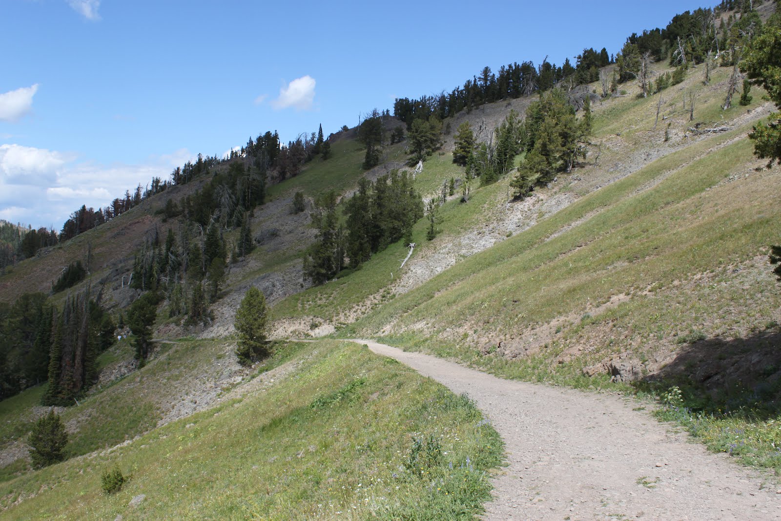
 Looking back up the Chittendon Road Trail as I got close to the end and my ride.
 "Heavy grizzly bear activity?!" Now they tell me.
 If you look in the center of this photo, you can see the griz asleep in the dirt.
 Here's the cropped version of the photo with the sleeping bear.
 The true emblem of the faded Pleistocene: the American bison.
 I expected to see a lot of pronghorn, but we saw very few of them in Yellowstone. This one, like the griz above, was in the Lamar Valley.
 When I go back to Yellowstone, I hope to spend most of the time in the Lamar Valley. It was, to me, the prettiest part of the Park. It was also the least crowded with humans.
 There was a trail leading to the top of this peak. I plan to hike it when I return.
 To illustrate how fragile the thermal features are in the Park, here is a geyser that was active in the early history of the Park, but which is now cold and dormant.
 It took this panorama from the high ridges of a 10K-foot peak (Mount Washburn). It's the Grand Canyon of the Yellowstone seen from thousands of feet above the rim of the canyon. The air was hazy in that part of the Park that day because of some forest fires (that quickly faded out by the next day).
 Go away, cutie!
 On the way back down I stopped to take this self-portrait.
